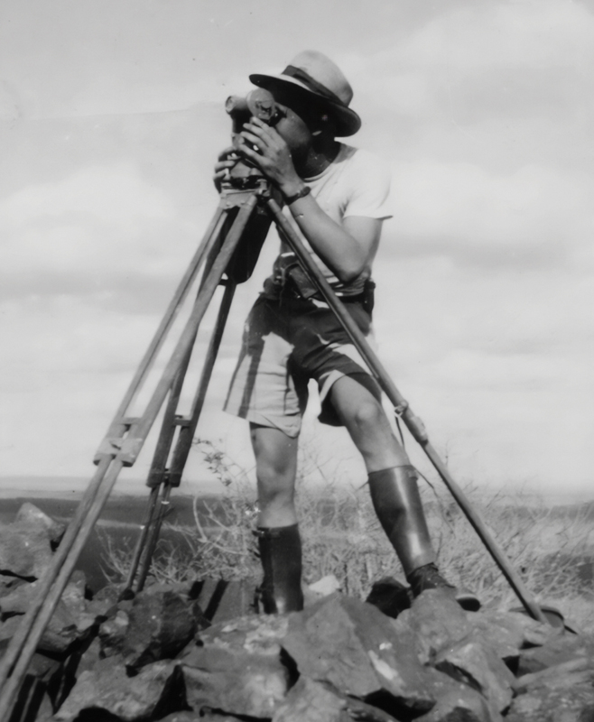
My father was a land surveyor. Had he still been with us, he would have turned 95 this year. With his birthday falling on a Saturday this year, I thought about doing something special to remember him by. After all, he was the one that bought me my first motorcycle. He did not rant about the dangers of motorcycling, he just asked if I wanted a green or a white one. Even though he never rode himself, he did not deny me the opportunity to own one. I think his choice had more to do with the fact that he did not have to drop me off at school anymore. He did, however, insist that I get my license first.
His job meant hours of toiling in the sun, only to come back with a field book full of numbers that had to be crunched after dinner. He did not have it easy, though. There were no fancy computers around, and he used arithmetic tables and a Facit TK Mechanical calculator. This ancient device used a crank to do multiplication and division. The decimal point was a rudimentary metal slide that you positioned where you want the decimal to be.
Any piece of land that has a title deed, was marked and laid out by a land surveyor. In simple terms, your property has four corner pins with exact coordinates that show you where the borders of your stand are. For my father to place those pins, he first had to find out exactly where he was in relation to your pins. From there he would use a lot of intricate mathematics to place the pins in exactly the right spot. Tolerances were down to millimetres, so accuracy was key.
To have the best possible chance of finding your initial location, South Africa has around 30 000 trigonometrical beacons scattered around the country. You might have seen some of them while riding. They comprise a white, cylindrical, concrete structure with a black, metal signal stuck on top. All of them are mapped with their exact location. With their locations known, you can measure the angles from your location to the various beacons. The more of them you could see at any given spot, the better your accuracy would be when determining your initial location.
The surveying of these beacons started in Cape Town in 1834, and the first two points were placed using the stars as a reference. From there the next point was placed, forming the first triangle. This third point’s exact location was then determined using the angle and distance from the first two points. From there a grid of triangles was laid out across the whole of South Africa. The initial countrywide grid was completed in 1936 and named the “Cape Datum”. Using this as a base, a second and third round of triangulations were done, adding more beacons to the network. This improved the accuracy of triangulating your exact position.
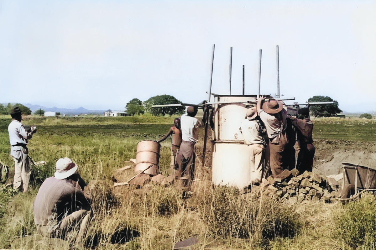
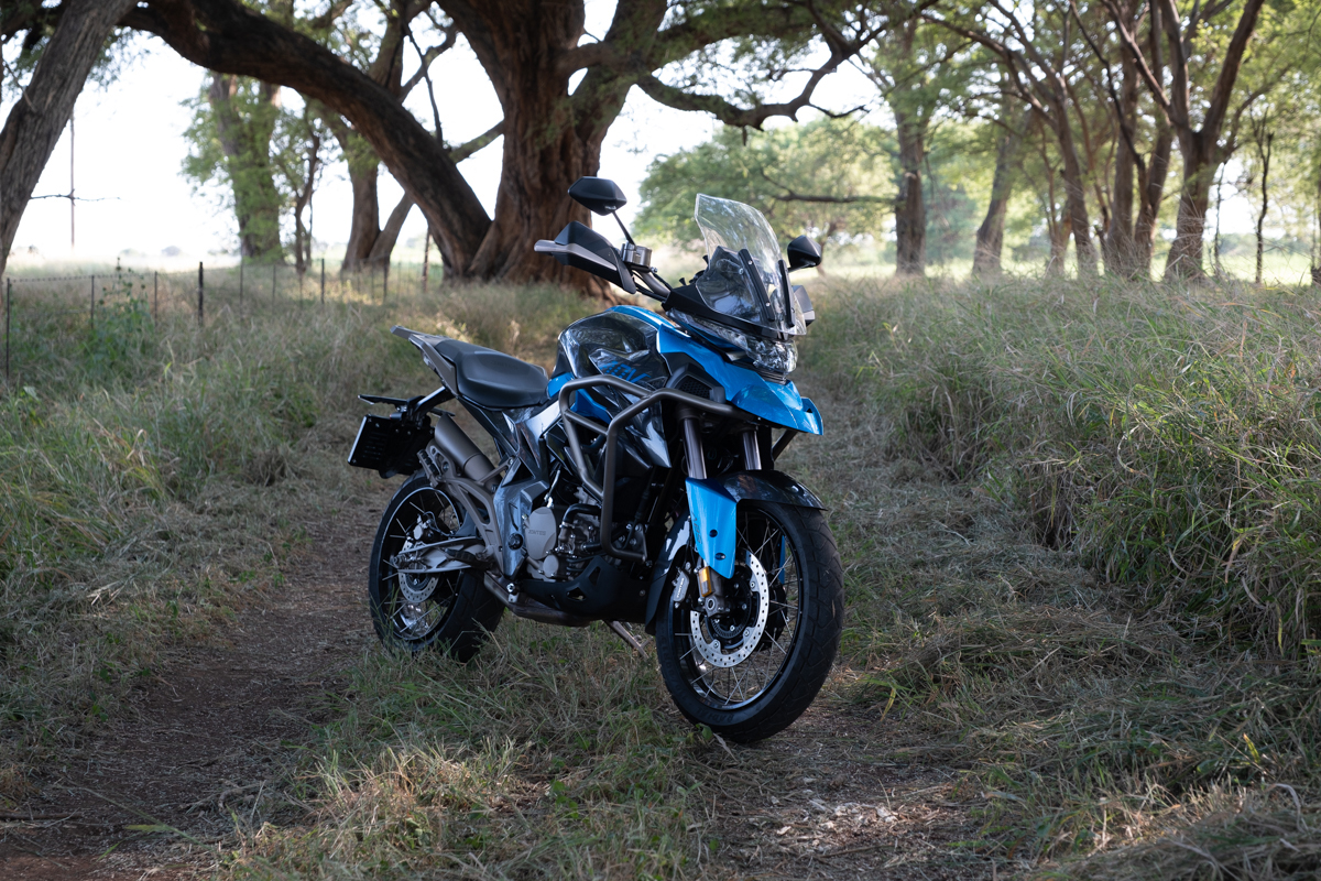
While rummaging through some old photos, I realised that my father was responsible for erecting a number of these secondary beacons, and I had the photographic proof. Some of these photos had the name assigned to the beacon included in the photo. I only had three photos to work with and I put together a 380-odd km route to see if I could visit these beacons. It would be like spending time with my father again. I knew there were going to be some gravel roads to ride, so I contacted Jaco van der Merwe from Zontes and asked if I could use their little adventure bike for the trip, the Zontes ZT 310-T2.
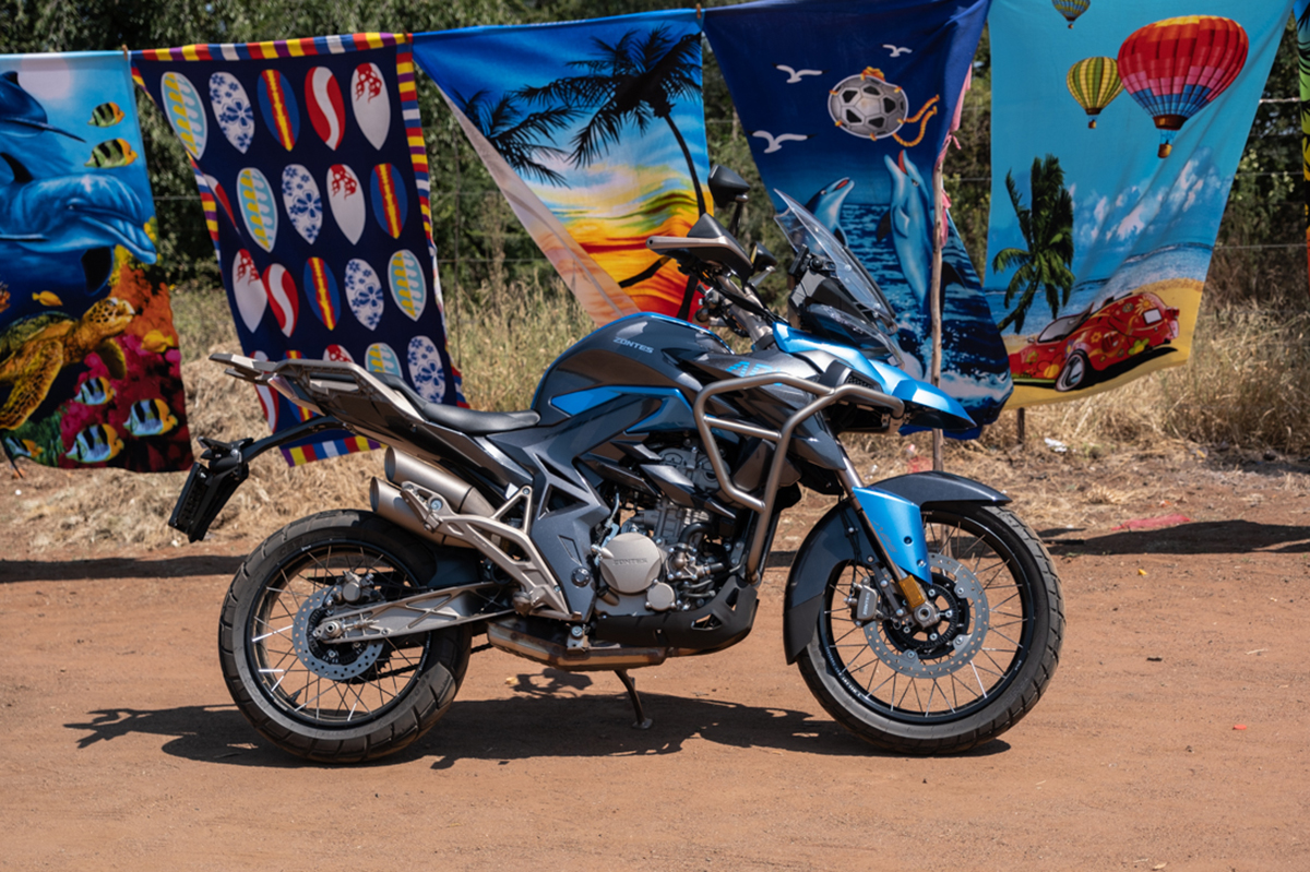
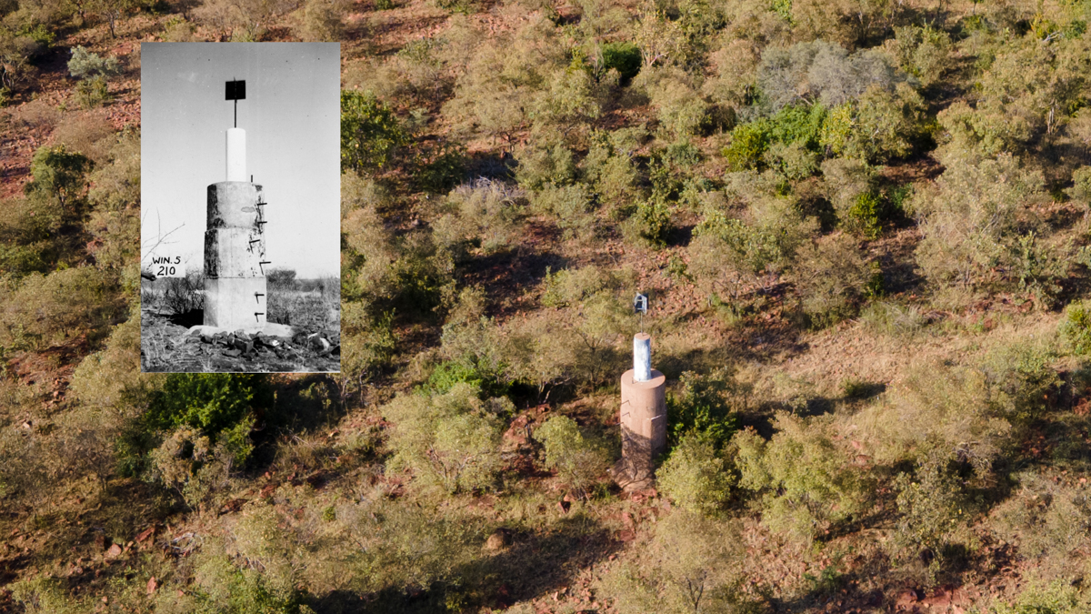
I left around 6:30 on Saturday the 18th of March and headed out on the Moloto road, towards Hammanskraal. This road is known for being very dangerous, but it got me thinking: the road is completely harmless. It is the people that ride on it that cause the carnage. I was happy to turn away from it eventually and headed in the direction of Bela-Bela. The first beacon was situated on a flat outcrop, not visible from the road. I flagged down a local and showed him the photo I had. His face lit up. “Yes! That is it!” However, getting to the beacon was not going to be easy, so I decided instead to fly my drone up to the site. As soon as I cleared the treeline, I could see the beacon! It was still in good condition, and just flying there made me wonder what my dad would have said of my flying contraption. With the photo in the bag, I mounted the Zontes and headed west in the direction of the N1.
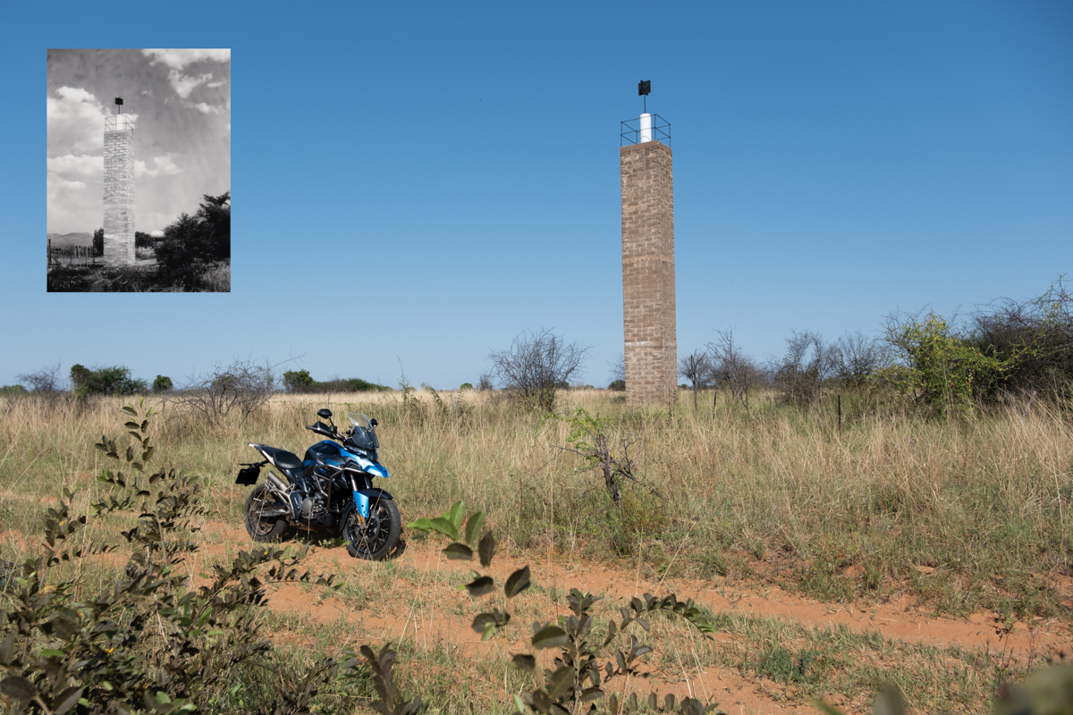
My next stop was a very tall structure but, as I approached, I realised that it was on a working farm. I took my chances and explained to the guard, Samuel, at the gate what I was after. I showed him the photo of the beacon and after a brief radio conversation with his superior, he unlocked the gate and explained where I needed to go. The farm road quickly turned into my nemesis: soft, powdery sand. The Zontes T2 has spoked wheels and a larger, 19” front wheel. It coped remarkably well and I reached my destination without incident. Here I spent some time and poured myself some coffee from my Stanley flask. My dad only used Stanley flasks, and even under the hot sun, he would always have coffee. He knew how much I loved coffee, so he always left a little bit of coffee in the flask for me when he got home. I said goodbye, and waded through the sand back to the gate. I thanked Samuel and rode further north to Bela Bela.
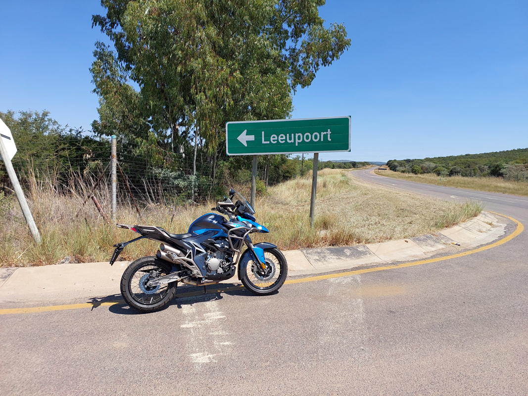
I stopped for a late breakfast at “Toeka se dae”, just off the N1 on the way to Bela Bela. There was one other motorcycle there, and after identifying the rider, I asked if I could join him. His name was Hannes, and we chatted about bikes and trig beacons. He was also doing a solo ride up north. After breakfast, I headed towards Leeupoort Holiday town. I stopped there for ice cream and reminisced some more, as my father was responsible for surveying the whole of Leeupoort and our family spent many a weekend there.
My next stop would be Beestekraal Station restaurant. There were quite a number of motorcycles, mostly members of the Honda Gold Wing club. I had a quick milkshake as I had one more beacon to visit. According to the map, I had to do a 6 km gravel road to get to it, but after my sand excursion, I knew the Zontes would be up to a little gravel road. It did not disappoint. The first part of the road was heavily rutted, but with the larger front tyre and a slight increase in speed, the bike simply floated over it.
As I reached the final beacon, I stopped at the local fruit store and asked who owns the land the beacon was on. One of the patrons was relieved to finally find out the purpose of the beacons. After clearing it with the owner, I opted for a drone shot, rather than scampering up a rocky outcrop in my riding boots. It was remarkable to see the beacon still in such good shape.
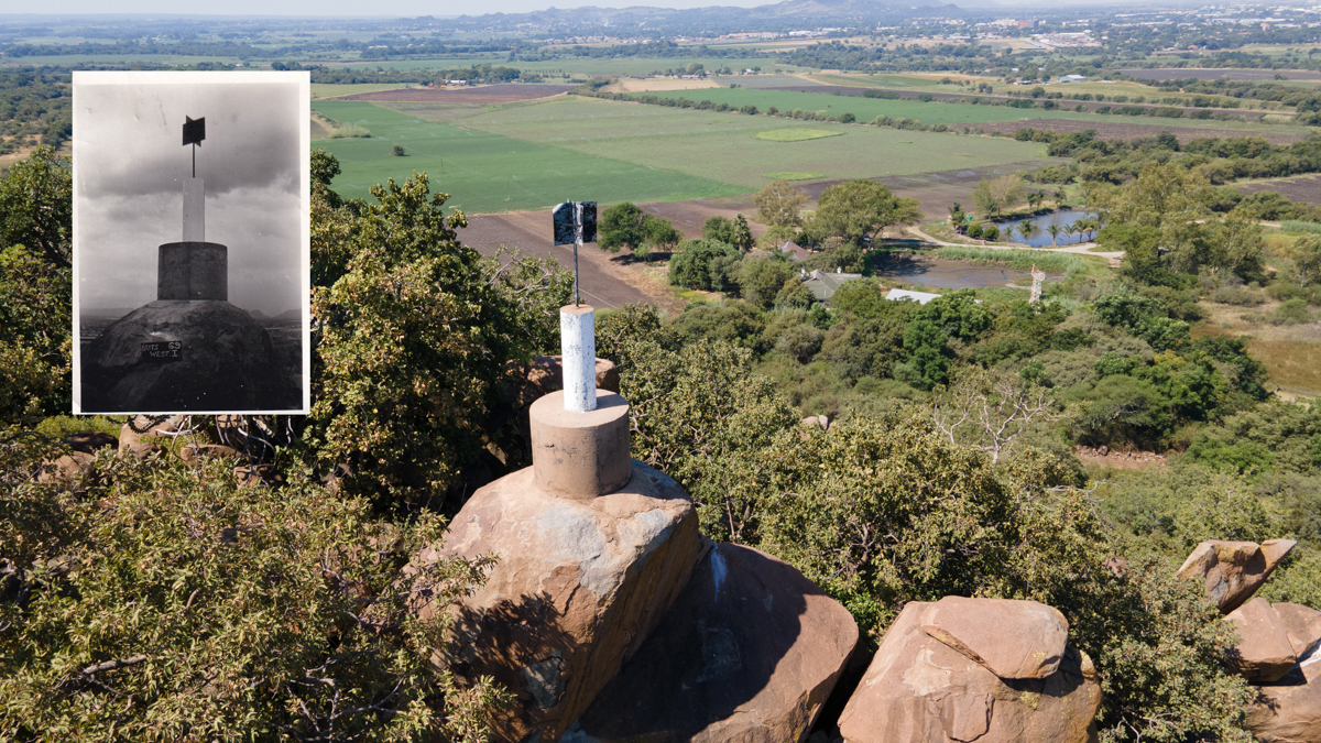
And then it dawned on me that the cement, water and all the moulds had to be carried up there. All by my dad and his helpers. And all this, so he could provide for us in the best way possible. And so he could afford to buy me my dream machine.
Thanks, Dadda, you are my hero!
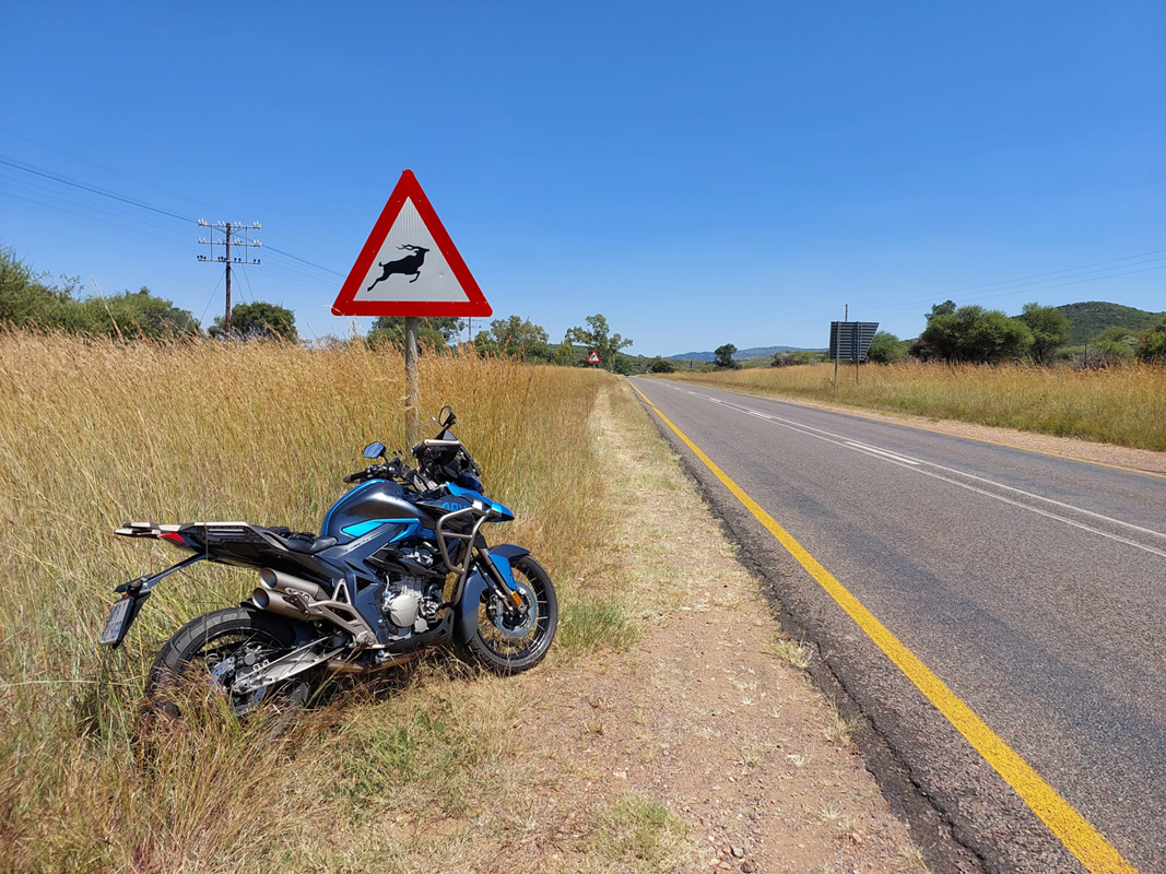
Zontes ZT310-T2
For more information on the bike featured in this article, click on the link below…


